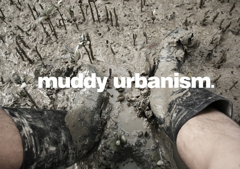
MUDDY URBANISM: productive coastlines
The Whau River, which bisects the inner west of Tamaki Makaurau and feeds into the upper reaches of the Waitemata Harbour, is a site of collision between economic, jurisdictional and natural systems. Formerly the border between two councils this waterway has played a crucial role in the urbanization of Auckland’s West.
Through a critical mapping of the Whau this studio unlocks the overlooked urban potential of a MUDDY URBANISM.
This studio speculates how a close consideration of the local could offer an expanded model of practice and propose operational frameworks for rethinking existing urban policy, infrastructure, the nature of zoning, current conceptions of public space and modes of urban intervention.
By highlighting the hidden value of the Whau and speculating as to a new MUDDYURBANISM this studio challenges an indifference to the diversity of Auckland’s coastline.
muddyurbanismlab.wordpress.com